Nationwide 3D Laser Scanning Services
We provide precision laser scanning for construction, infrastructure, real estate, energy, and more — anywhere in the continental U.S.
Why Laser Scanning?
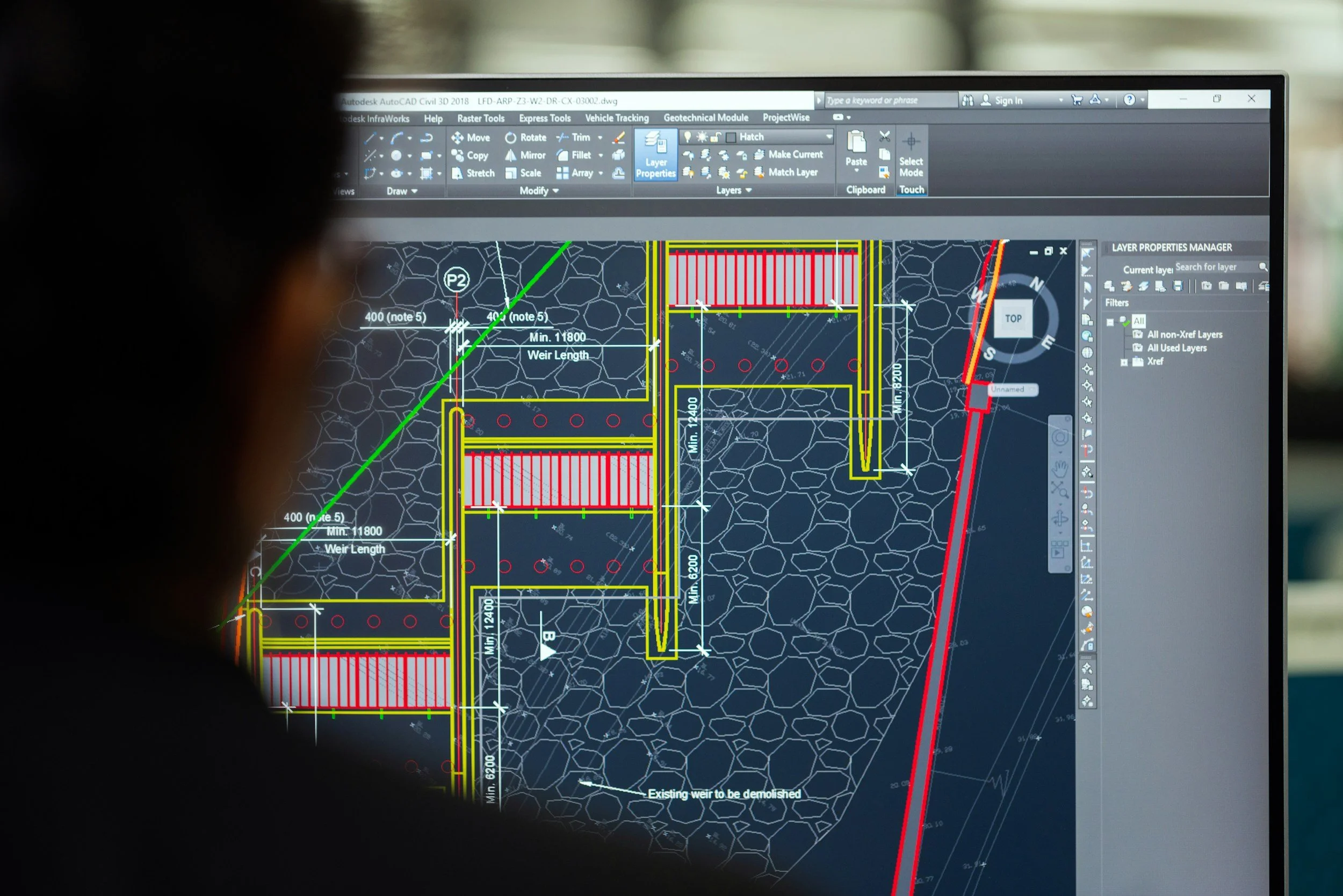
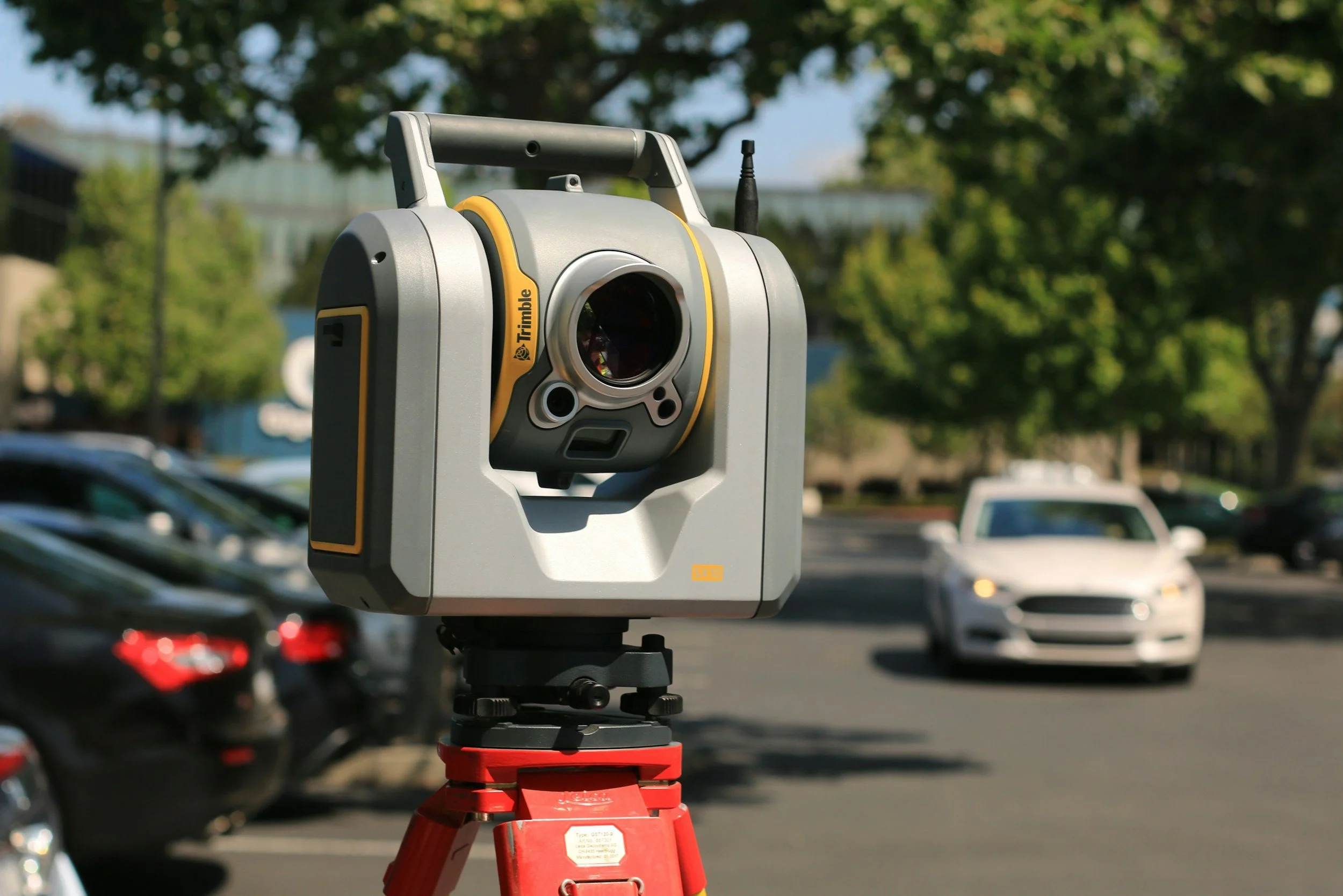
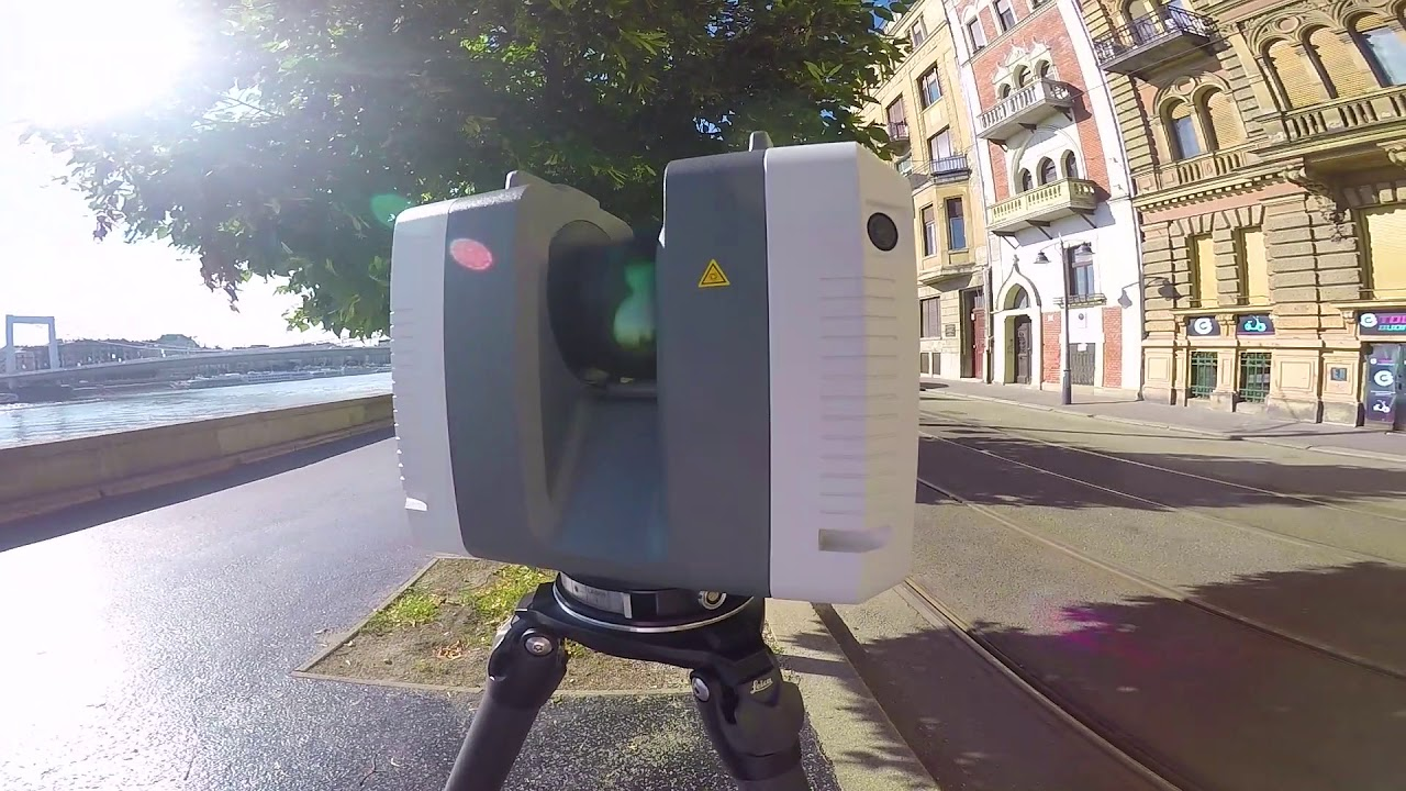
3D laser scanning is transforming how industries capture reality. By using advanced LiDAR and imaging technologies, we can create highly accurate digital models of environments, structures, and assets. These scans eliminate guesswork, reduce costly errors, and provide a permanent digital record.
Unlike traditional survey methods, laser scanning gives you speed, precision, and confidence. Whether you need to document a crime scene, measure a bridge, or validate square footage, scanning provides the truth you can measure and build from.
Nationwide Reach
Our teams are mobile and fully equipped to handle projects anywhere in the continental United States. Whether you’re on the East Coast, Midwest, or West Coast, we can mobilize quickly to meet your timeline and requirements.
What Laser Scanning Can Do Across Industries
🏗 Civil Infrastructure
Roadways & Bridges – Measure deformation, settlement, or damage.
Rail & Transit – Scan tunnels, stations, and tracks for clearance and safety.
Airports & Ports – Map large-scale infrastructure for planning and upgrades.
Utility Mapping – Locate and document underground or overhead utilities.
🚔 Public Safety & Forensics
Crime Scene Reconstruction – Capture accurate 3D evidence for court use.
Accident Investigation – Document crash scenes with millimeter accuracy.
Disaster Response – Assess damaged structures or hazardous zones quickly.
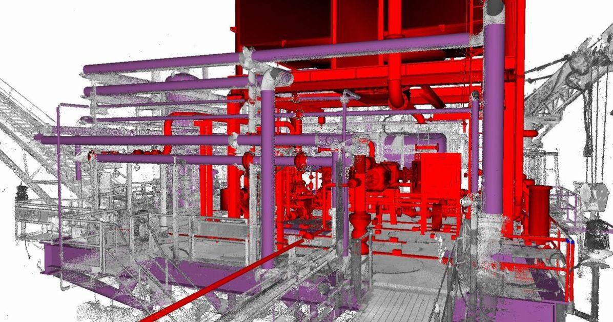
🌱 Energy & Utilities
Renewables – Optimize wind farm layouts or solar installations.
Transmission Lines – Analyze sag, clearance, and encroachment risks.
🏡 Real Estate & Facilities
Virtual Tours – 3D scans for marketing properties.
Space Management – Optimize layouts for corporate or retail spaces.
Lease Validation – Verify square footage for rental agreements.
Facility Maintenance – Integrate scans into CMMS software.
🌍 Geospatial & Environmental
Topographic Surveys – Generate high-accuracy terrain models.
Mining & Aggregates – Volume calculations for stockpiles and pits.
Coastal & Flood Modeling – Track erosion, sea level rise, or levee integrity.
Forestry – Measure canopy density and biomass.


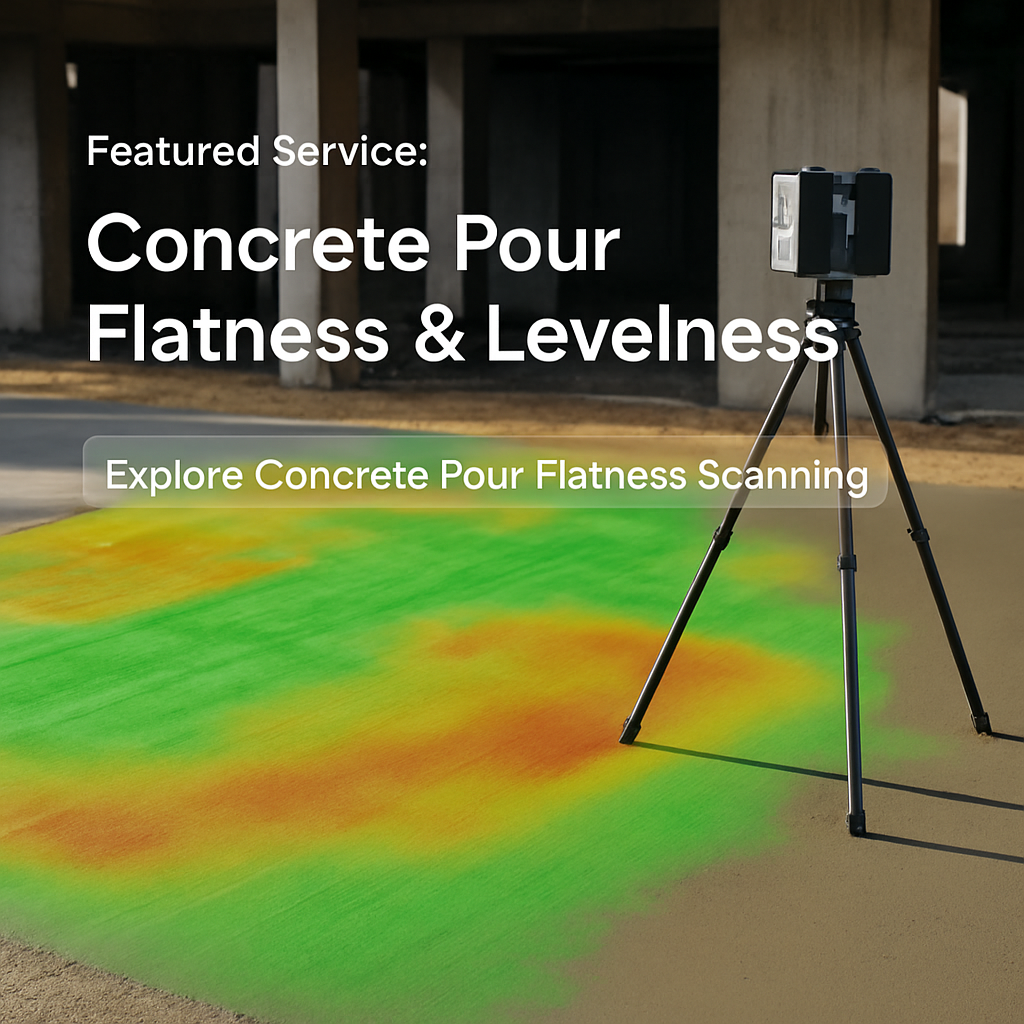
Featured Service:
Concrete Pour Flatness & Levelness ScANNING
Need to verify slab quality? Our concrete pour flatness scanning service offers full-surface 3D scans, producing precise FF/FL results and easy-to-share reports. Ideal for construction teams who want confidence before moving to the next phase.
Why Work With Us?
Nationwide Coverage
Teams ready to deploy anywhere in the continental U.S.

Experienced Professionals
Experts in civil, forensic, environmental, and industrial scanning.

Trusted Accuracy
Delivering scans that integrate directly into BIM, CAD, and GIS workflows.